Regional Centre for Geodesy
3.1 Instruments
|
S. No |
Name of Instruments |
Photograph |
|
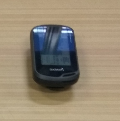
1 |
Hand held GPS Receiver |
|
|
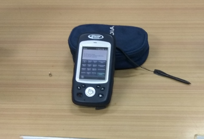
2 |
Mobile Mapper receivers |
|
|
3 |
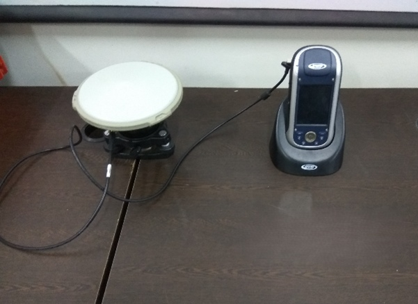
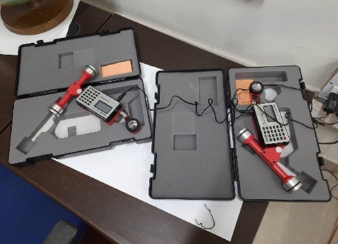
Single Frequency DGPS/GNSS system |
|
|
4 |
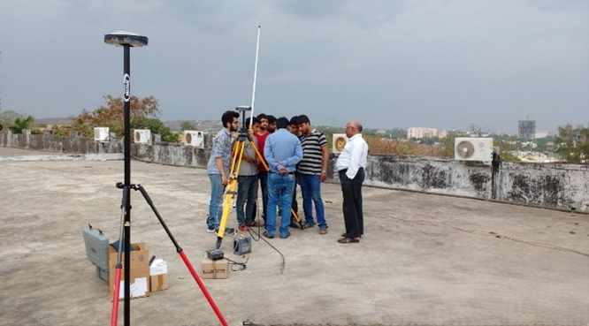
Multi-Frequency DGPS/GNSS system |
|
|
5 |
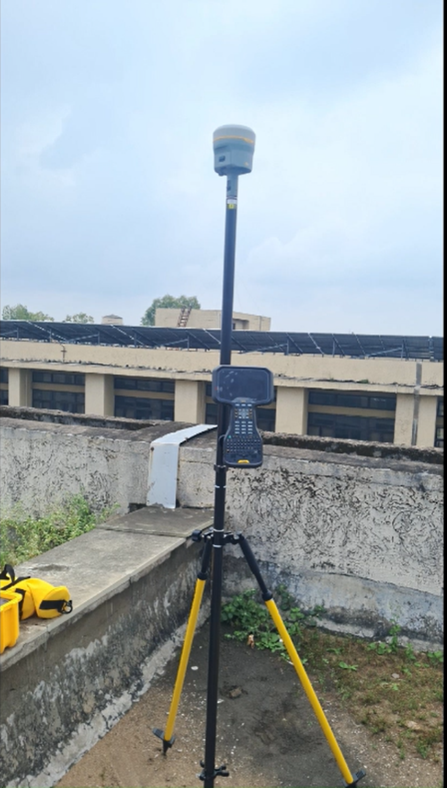
Trimble R12 Multi-Frequency DGPS/GNSS system |
|
|
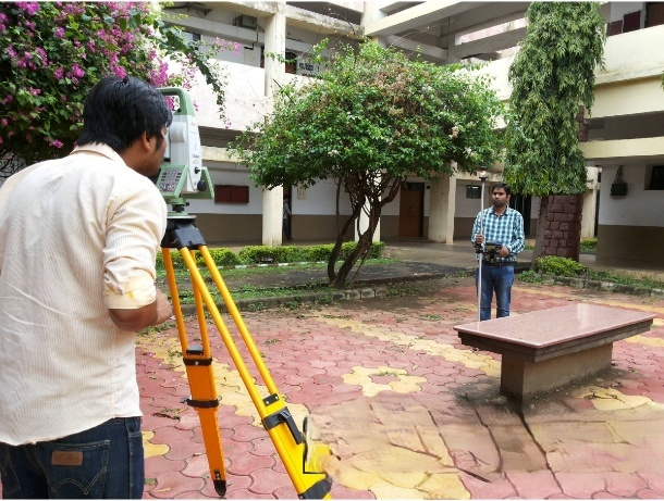
6 |
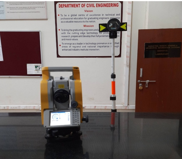
Trimble Total Station M3 & Prism |
|
|
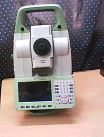
7 |
Leica TS 16 Robotic Total Station |
|
|
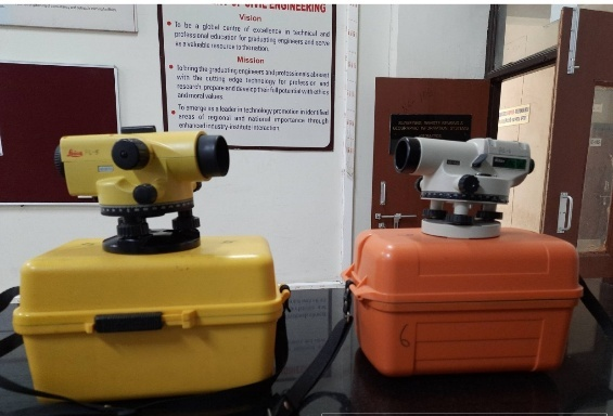
8 |
Auto Level |
|
|
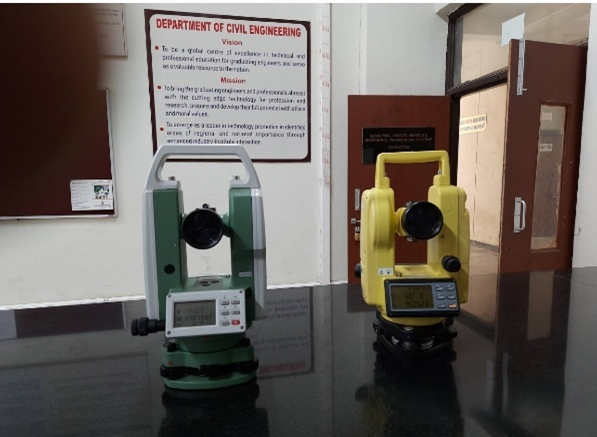
9 |
Digital Theodolite |
|
|
10 |
Digital Planimeter |
|
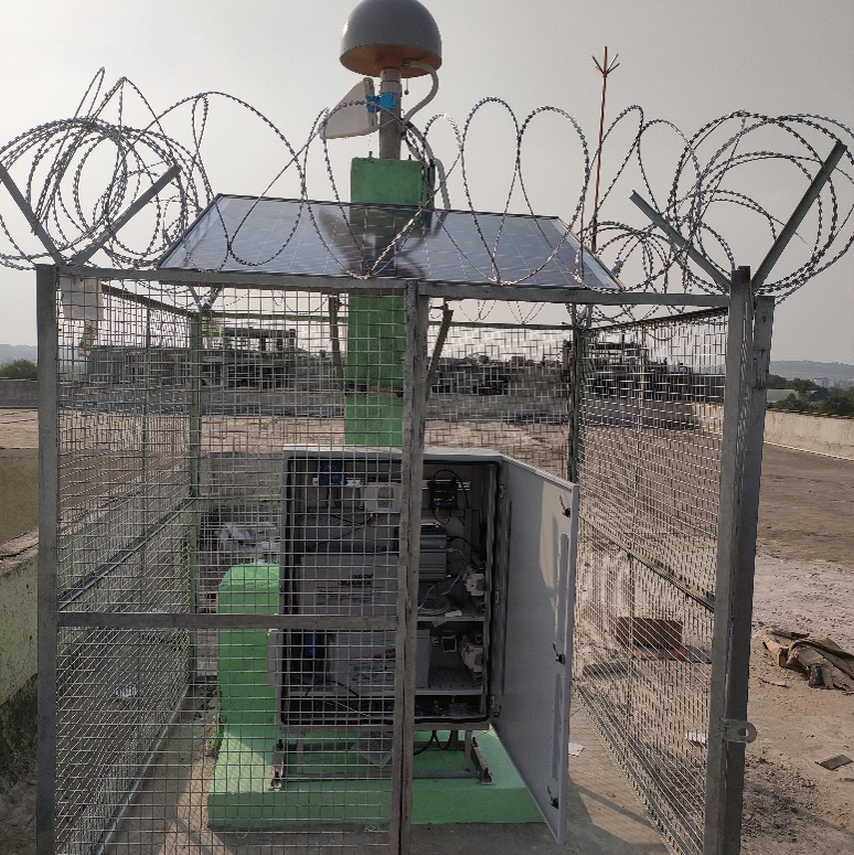
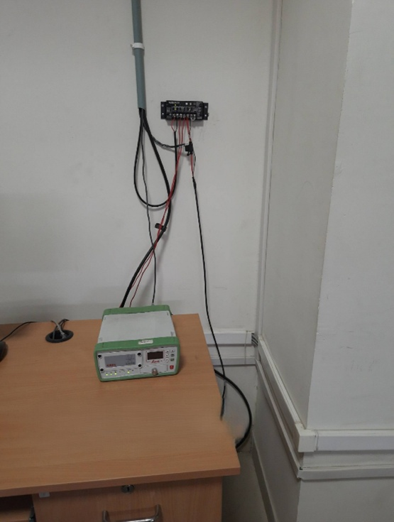
| 11 | Leica CORS GNSS receiver |
|
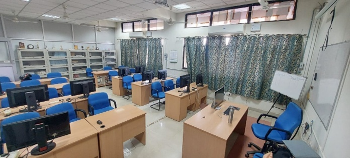
| 12 | GNSS data Processing Work Stations |
|
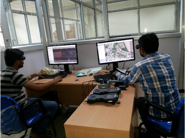
| 13 | Stereo Image Analysis System |
|
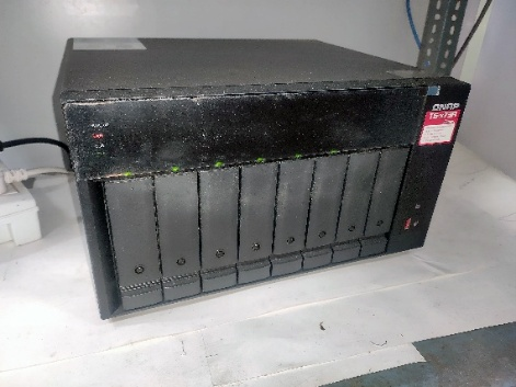
| 14 | QNAP Network Attached Storage (NAS Drive) |
|

Software’s
|
S. No |
Name of Software's |
Photograph |
|
1 |
ArcGIS |
|
| 2 |
ERDAS IMAGINE |
|
| 3 |
Leica Spider |
|
| 4 |
Trimble Business Centre |
|
| 5 |
Spectra Precision Survey office |
 |
| 6 |
GAMIT/ GLOBK |


CORS
Site Name: MANIT_BHOPAL
Site ID: MANI
Receiver Model: Trimble Alloy
Antenna Type: Choke Ring Antenna
Longitude: E 77° 24' 25.60682"
Latitude: N 23° 12' 51.90299"
Height above MSL (H): 548.38
Height above ellipsoid (h): 491.046